
19 Jun On The Map: 2019-06
Posted at 10:39h
in GIS Blog
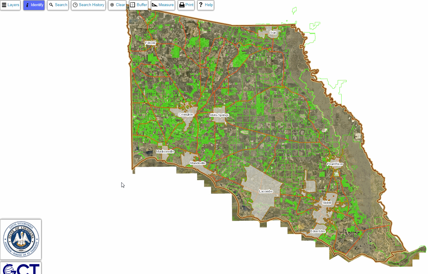
As STPAO GIS continues to fill in the Assessor’s online parcel map, you may find it more and more useful. There are a number of ways to use the map that we already have documented, and today I want to share another one.
An appraiser here in the office recently wanted to export a spreadsheet of all the parcels drawn in the Division of St. John in downtown Covington. The parcel map has the capability to run reports like this built right into the application. If you navigate to the parcel map, you can easily run a report like this using the “Search” functionality at the top of the screen:
To execute a query like this, follow these steps:
- Navigate to the parcel map
- Click “I Agree” on the disclaimer
- Click the “Search” tool at the top of the screen
- Change the “Search By” drop-down to “Subdivision”
- Choose a subdivison from the list
- Click the purple “Search” button
After executing a search, the map will zoom to all the features drawn in GIS in the subdivision. It also will select all the parcels and open a popup with information about each parcel. You then can export this selection to a spreadsheet by clicking on the purple “Export” button at the bottom of the popup window.
If you discover a useful way to use the parcel map, please share it with us so that it can be included in a future update!