
12 Apr On The Map: 2018-02
Thank you all for the feedback regarding January’s inaugural newsletter from STPAO GIS. Much appreciated and helpful.
Last month I shared one of our reporting methods by way of the two static “Parcel Progress” maps, which show how many ownership parcels are accounted for in GIS at any particular time since August of 2014. The advantage of consistently capturing that snapshot of information is being able to make the below animated graphic, which shows the progress of our mapping project in an interactive fashion.
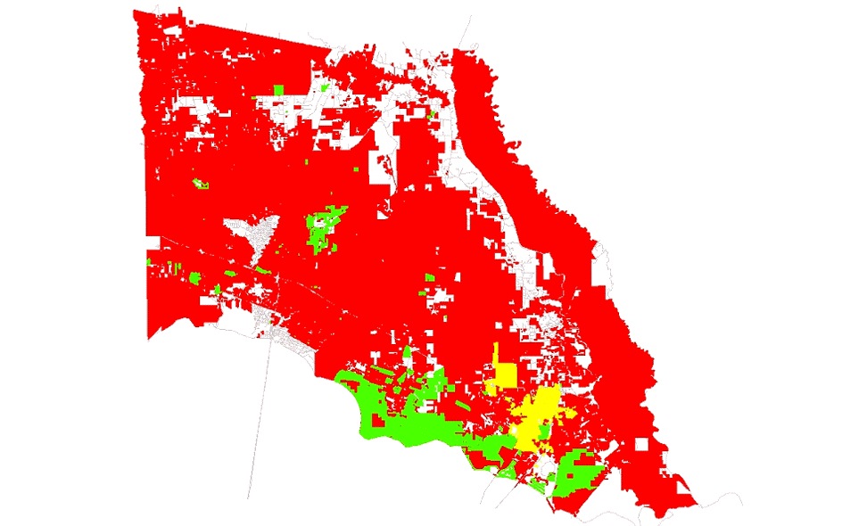
It’s a simple thing, really, but still nice to see the work you have done over the course of a years-long project grow over time.
If you have questions and/or feedback for STPAO GIS that you’d like to see featured here in the future, please email me.